
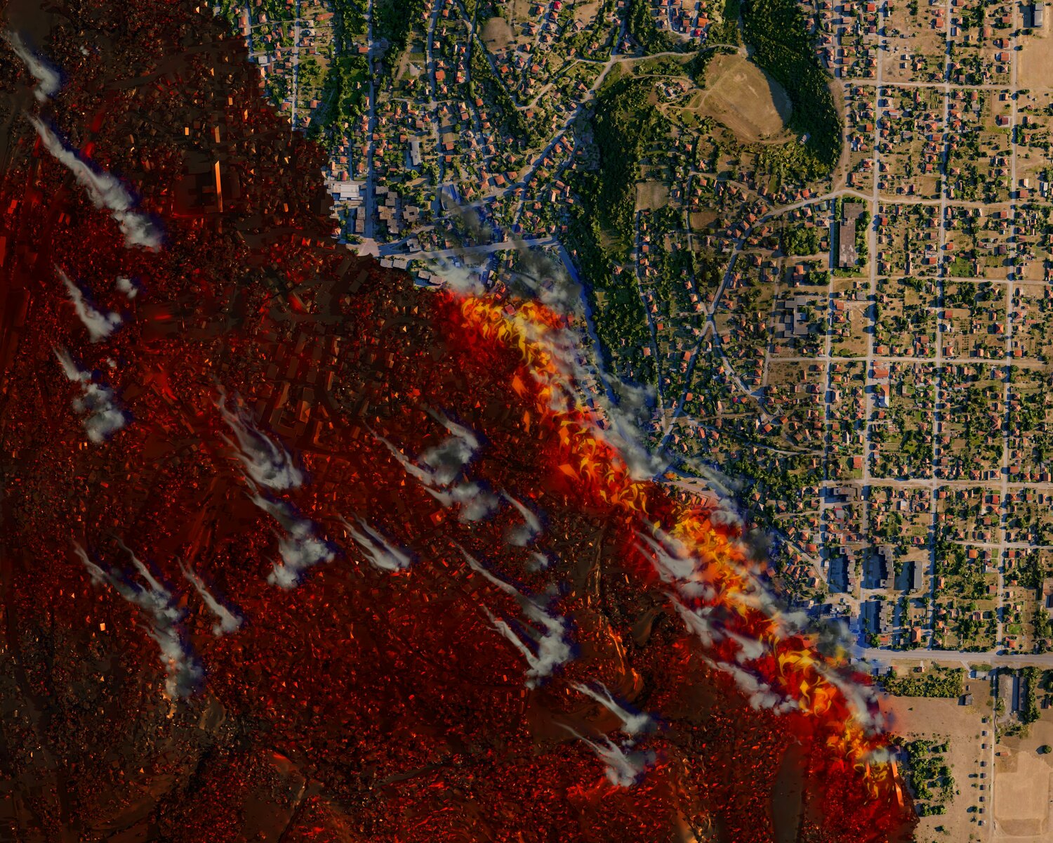
ExoAnalytic has been tapped to design and develop interactive tools that visualize FireSat’s satellite orbits and their wide-area sensor coverage in near real time. FireSat is a satellite network being developed by Earth Fire Alliance to detect wildfires globally, with updates expected every 20 minutes once fully operational. Rather than overwhelming users with raw data streams, the tools under development aim to simplify the complexity—showing where satellites are, where they’ll be next, and what areas are being observed now or soon.
The goal is not just operational performance but broader adoption. Visual platforms that are intuitive to use help bridge the gap between advanced satellite systems and users in the field—many of whom don’t have deep technical backgrounds but need up-to-date fire intelligence to make rapid decisions.
These containerized web applications will offer both public and secure interfaces. That means global access for general users, and mission-specific views for authorized agencies working on fire response, research, or environmental monitoring.
FireSat is already transitioning from test phase to operational impact. A prototype satellite, developed with technical partner Muon Space, launched in early 2025 and has been gathering wildfire detection data to inform the broader system buildout.
In 2026, Earth Fire Alliance plans to deploy three additional satellites, expanding the system’s ability to monitor key wildfire-prone regions up to twice daily. This will mark the program’s Initial Operational Capability milestone, with full-scale global deployment targeted for 2030.
At full scale, FireSat could consist of up to 50 satellites, providing near-real-time revisit rates of 20 minutes or less worldwide. This cadence would offer a major improvement in early detection and monitoring—key to both first response and long-term climate risk tracking.
ExoAnalytic’s visualization work is intended to be a force multiplier for that data. By turning highly technical orbital information into accessible visuals, the company is helping transform how space-based wildfire detection tools are used in real-world disaster response workflows.
For Earth Fire Alliance, the collaboration underscores a core mission value: if data isn’t accessible, it’s not useful. Clear, user-oriented visualization helps ensure FireSat’s insights reach not just specialists, but the broader networks that respond when fire risk spikes.


